|
| *****SWAAG_ID***** | 113 |
| Date Entered | 27/01/2011 |
| Updated on | 25/01/2013 |
| Recorded by | Tim Laurie |
| Category | Settlement |
| Record Type | Archaeology |
| Record Date | 01/01/2011 |
| Location | Settlement south of Gun Ing Lane |
| Civil Parish | Muker |
| Brit. National Grid | SD 9162 9764 |
| Altitude | 240m |
| Geology | River terrace |
| Record Name | Large Romano British scooped settlement near Muker. Site found and recorded by Tim Laurie.Record |
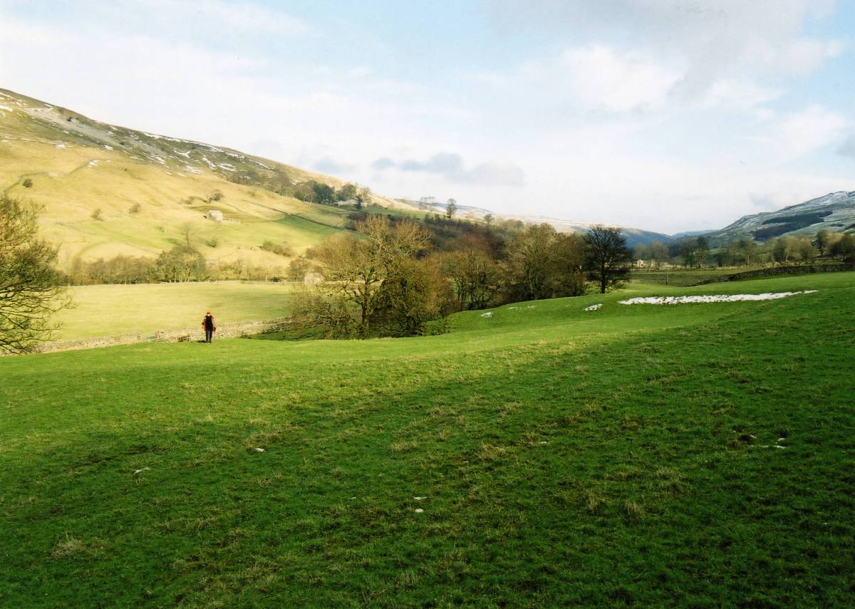
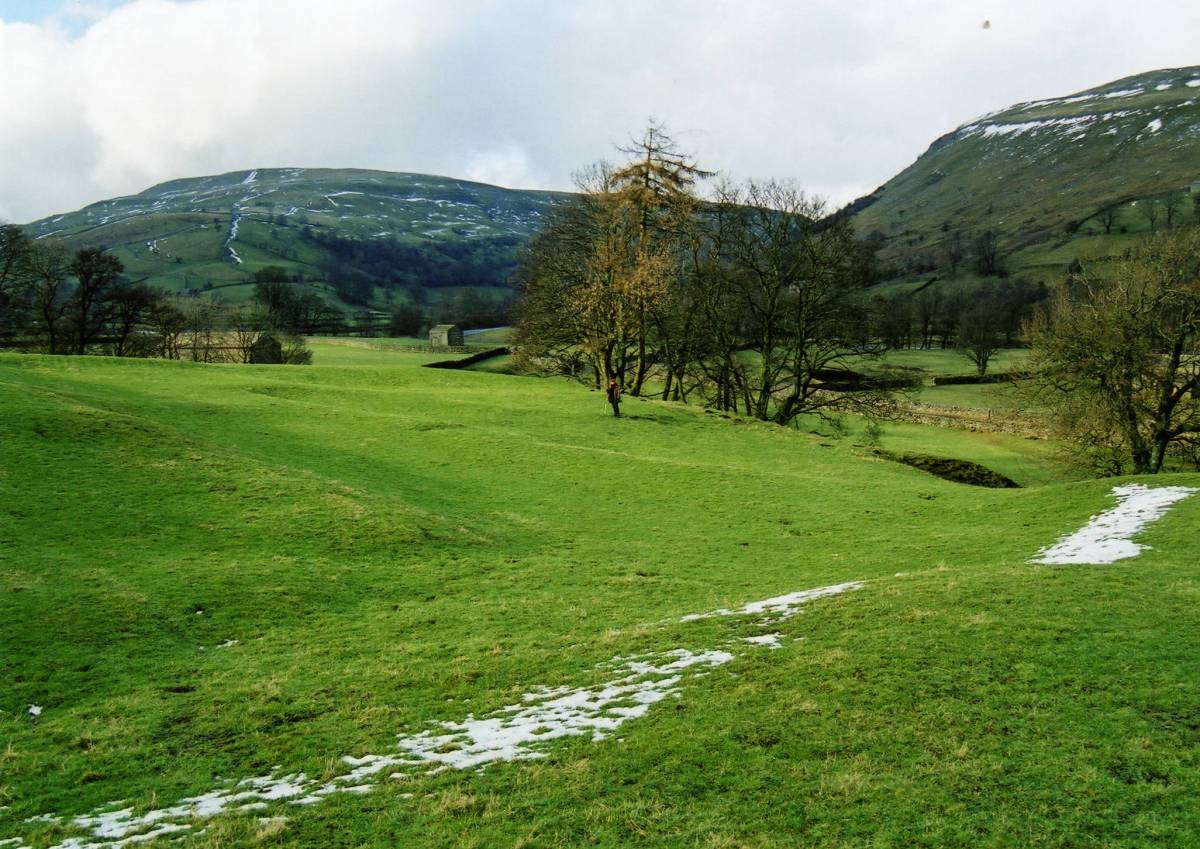
| Record Description | Large scooped settlement roughly rectangular on plan enclosed on three sides, the fourth and lower edge being the top of the first terrace above the River Swale flood plain.
The upper or southern edge is in the form of a steep scarp slope which may originally have been revetted as there are indications of stone walling here.
Both east and western sides are also defined by grass covered banks which may once have been walls.
Several large round houses can be discerned within the settlement and stone banks indicate that the interior of this site was further subdivided into yards.
An entrance seems to have been formed at the SE corner and a hollow way leads down to the Swale flood plain from the centre of the northern side.
This settlement was evidently a substantial farmstead and is very well preserved despite the fact that the pasture in which it is situated has been ploughed and all contours, banks and angles are softened and rounded.
|
| Additional Notes | This settlement is one of several similar substantial farmstead settlements in Swaledale and although there are no pottery finds to give a clue to the date of occupation, the author has assigned a Native roman age to this site as most probable.
Unsurveyed and unrecorded.
|
| Image 1 ID | 183 Click image to enlarge |
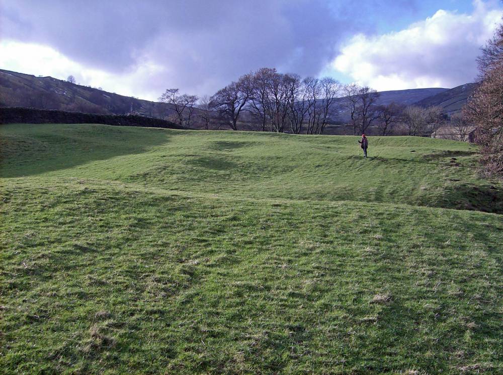
| Image 1 Description | Stlmt south of Gun Ing lane from east |  |
| Image 2 ID | 184 Click image to enlarge |
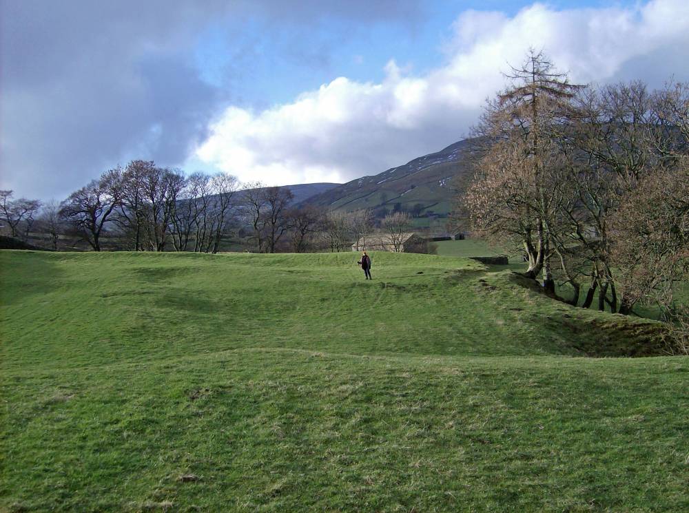
| Image 2 Description | Stlmt south of Gun Ing lane. SE entrance. | 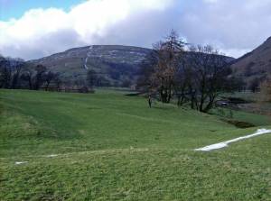 |
| Image 3 ID | 185 Click image to enlarge |
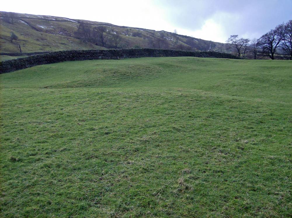
| Image 3 Description | Stlmt south of Gun Ing lane. Rear scarp. | 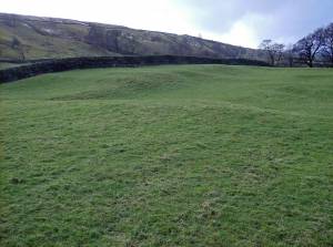 |
| Image 4 ID | 186 Click image to enlarge |
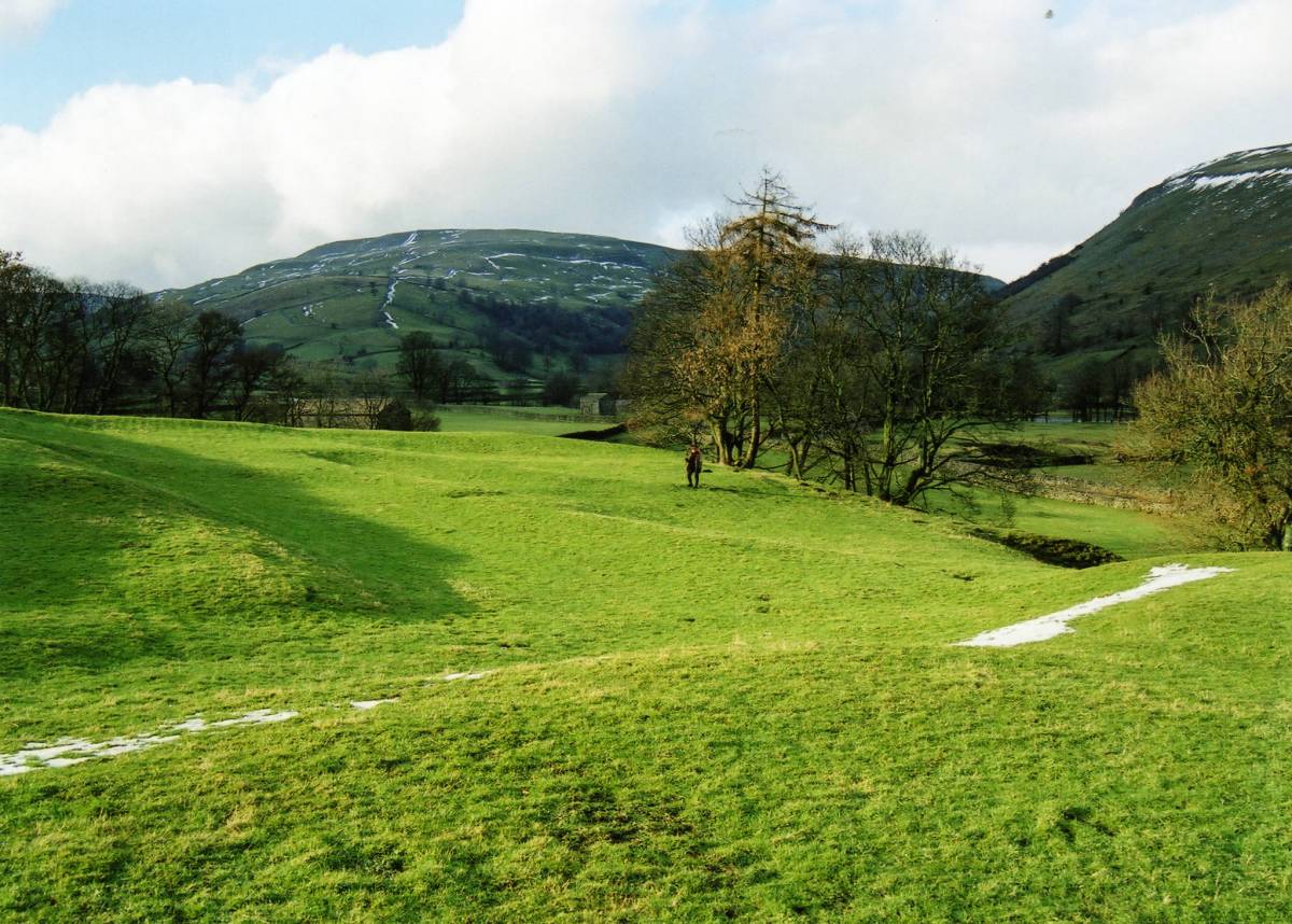
| Image 4 Description | Stlmt south of Gun Ing lane from south-east |  |
| Image 5 ID | 187 Click image to enlarge |
| Image 5 Description | Stlmt south of Gun Ing lane. Northern edge and river terrace from east |  |
| Image 6 ID | 188 Click image to enlarge |
| Image 6 Description | Stlmt south of Gun Ing lane. Viewed from West | 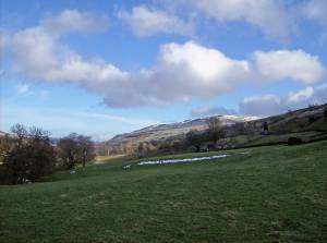 |
| Image 7 ID | 3997 Click image to enlarge |
| Image 7 Description | | 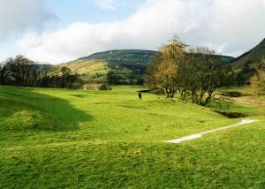 |
| Image 8 ID | 3998 Click image to enlarge |
| Image 8 Description | | 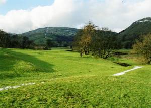 |
| Image 9 ID | 3999 Click image to enlarge |
| Image 9 Description | |  |
| Image 10 ID | 4000 Click image to enlarge |
| Image 10 Description | | 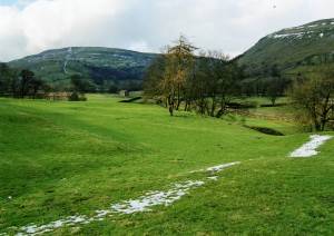 |